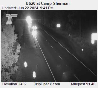
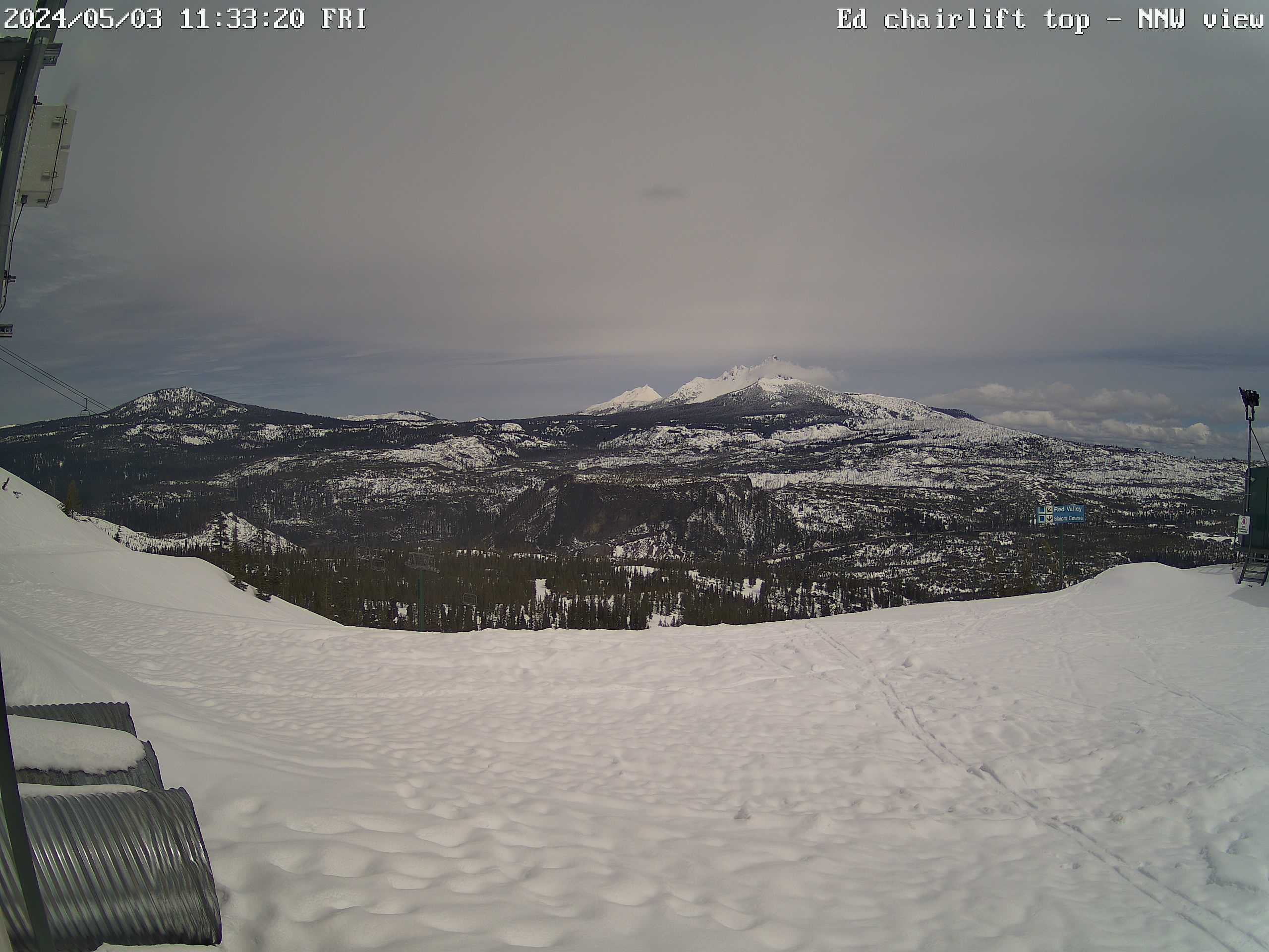
Additional cameras have been added to help weather station users understand the current local weather conditions. These views attempt to include items both near and far, so that conditions can be better understood in the event of reduced visibility.
Some cameras were added for the view on a clear day. Clouds may obscure views from higher or lower camera sites under different conditions, so the redundant views of various mountains in the background can be useful to understand where cloud deck tops and bottoms are located.
Camera locations are constrained by power and communication resources, and year-round usefulness. Opportunities are limited, but interesting views will be added where possible.
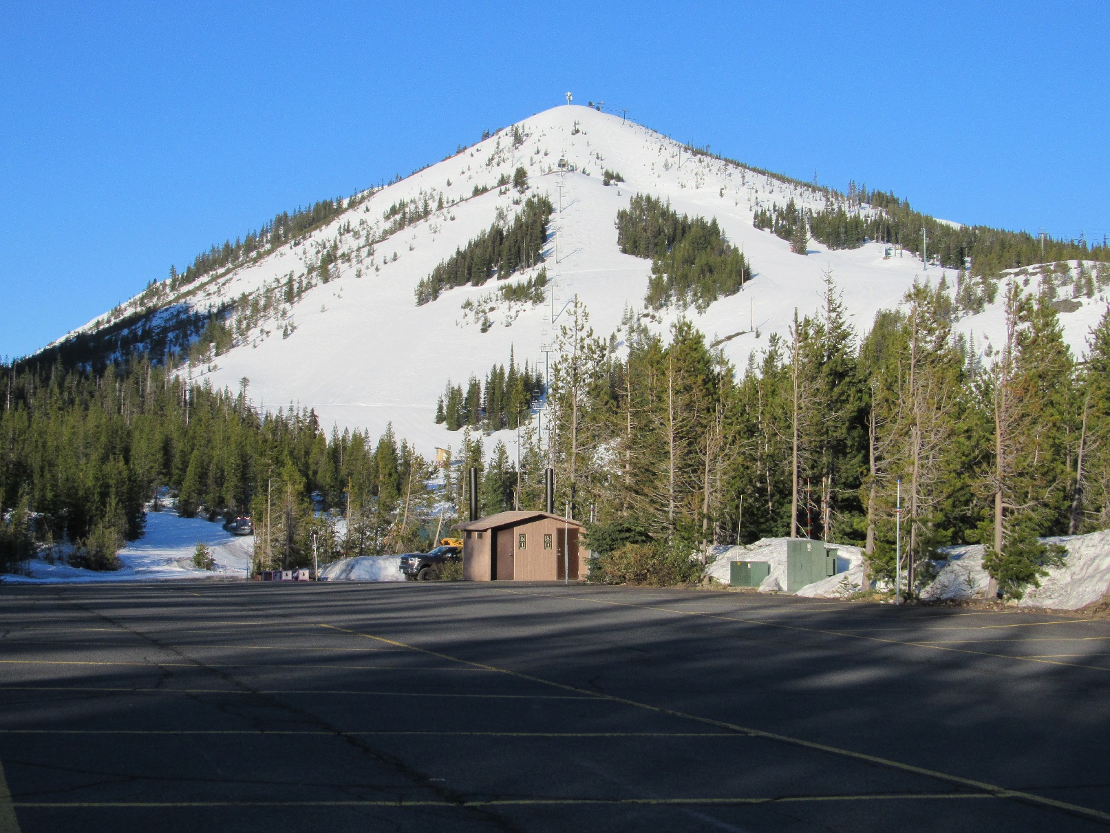
Hodag Chair (top)
|
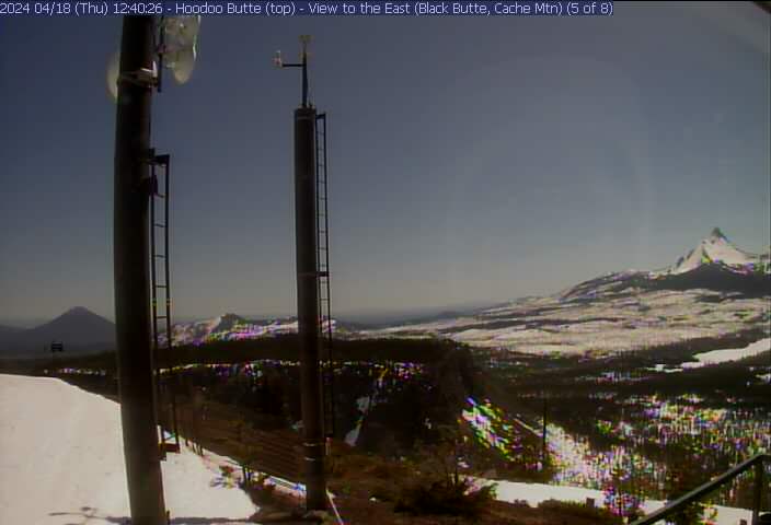
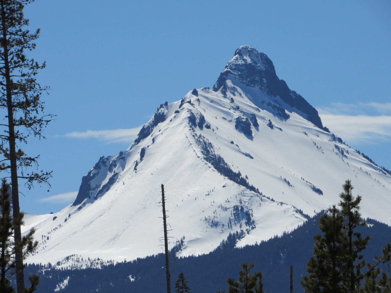
Three Fingered Jack, Mt Jefferson, Hogg Rock
|
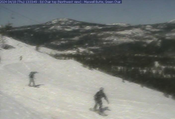
Green Chair (top)
|
Hogg Rock & US20 highway
|
NE view from top of Green Chair
|
Mt Washington & Big Lake
|
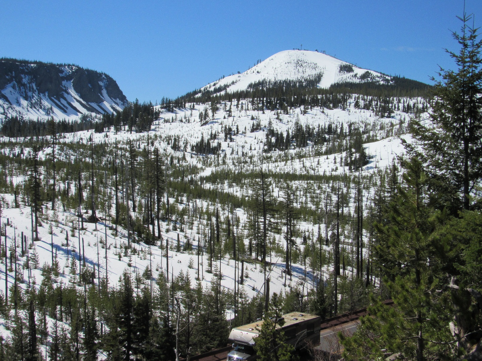
Maxwell Butte, Mt Jefferson, Three Fingered Jack
|
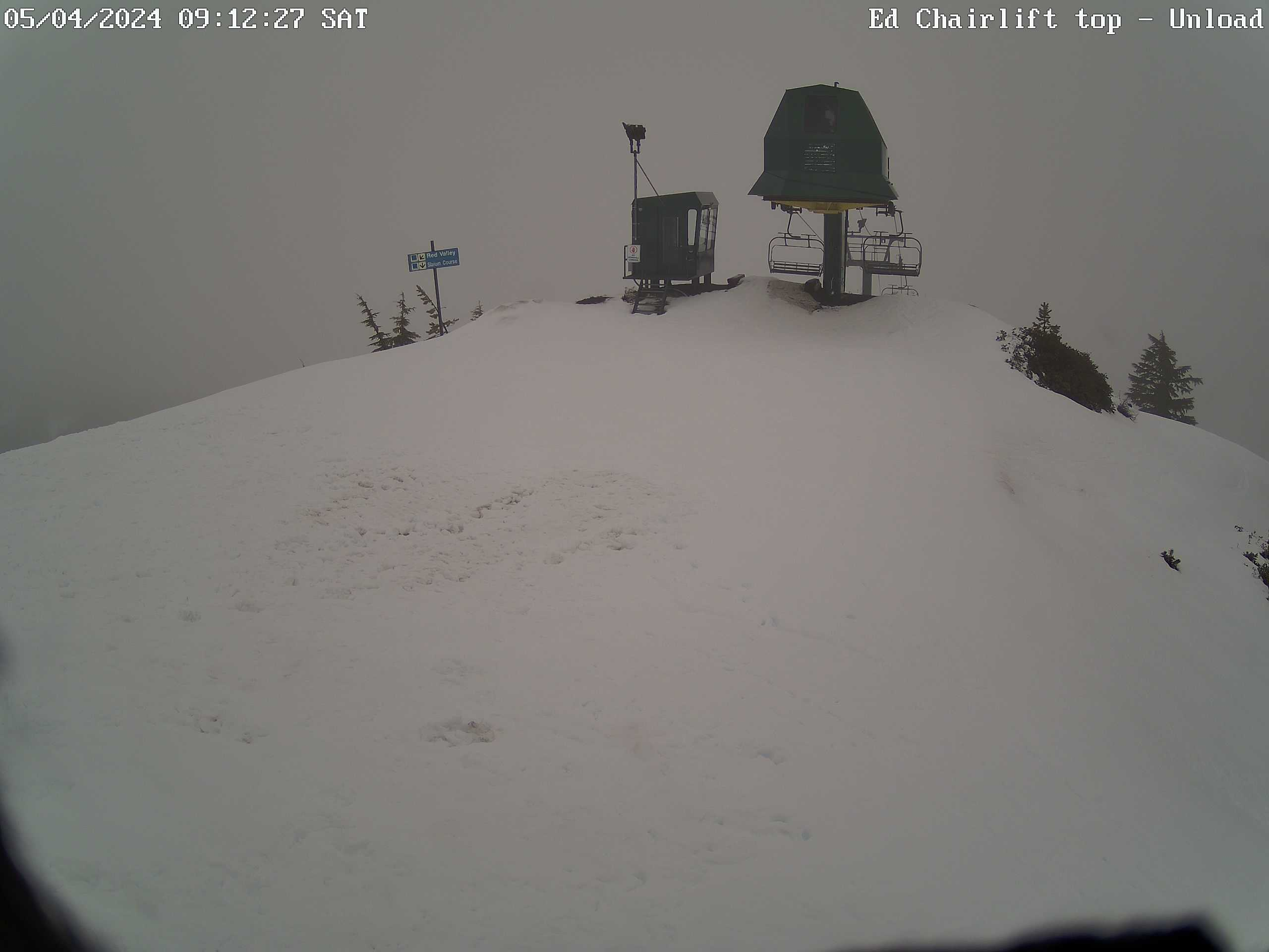
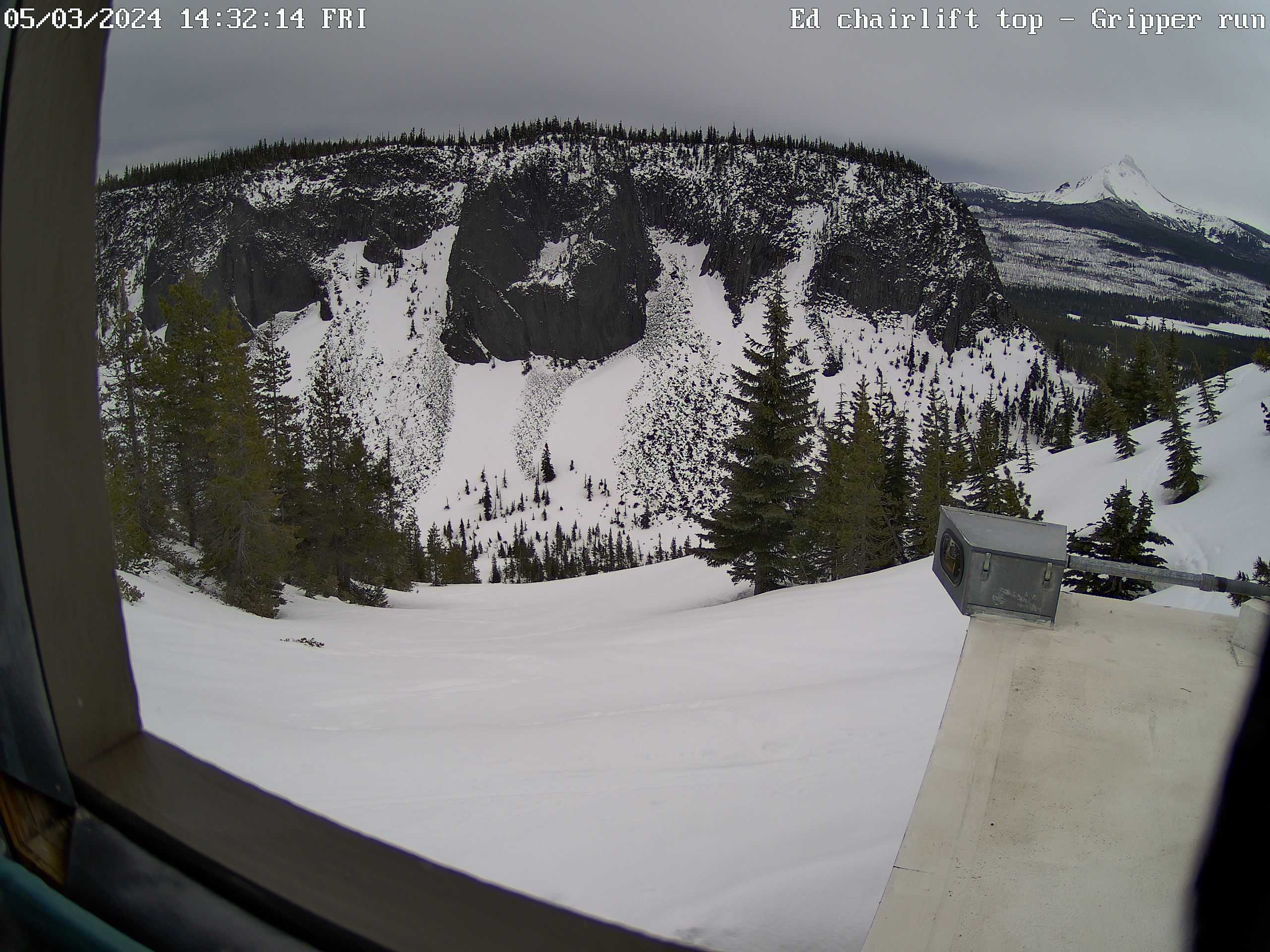
Ed Thurston Chairlift (top)
|
"Gripper" run & Hayrick Butte
|
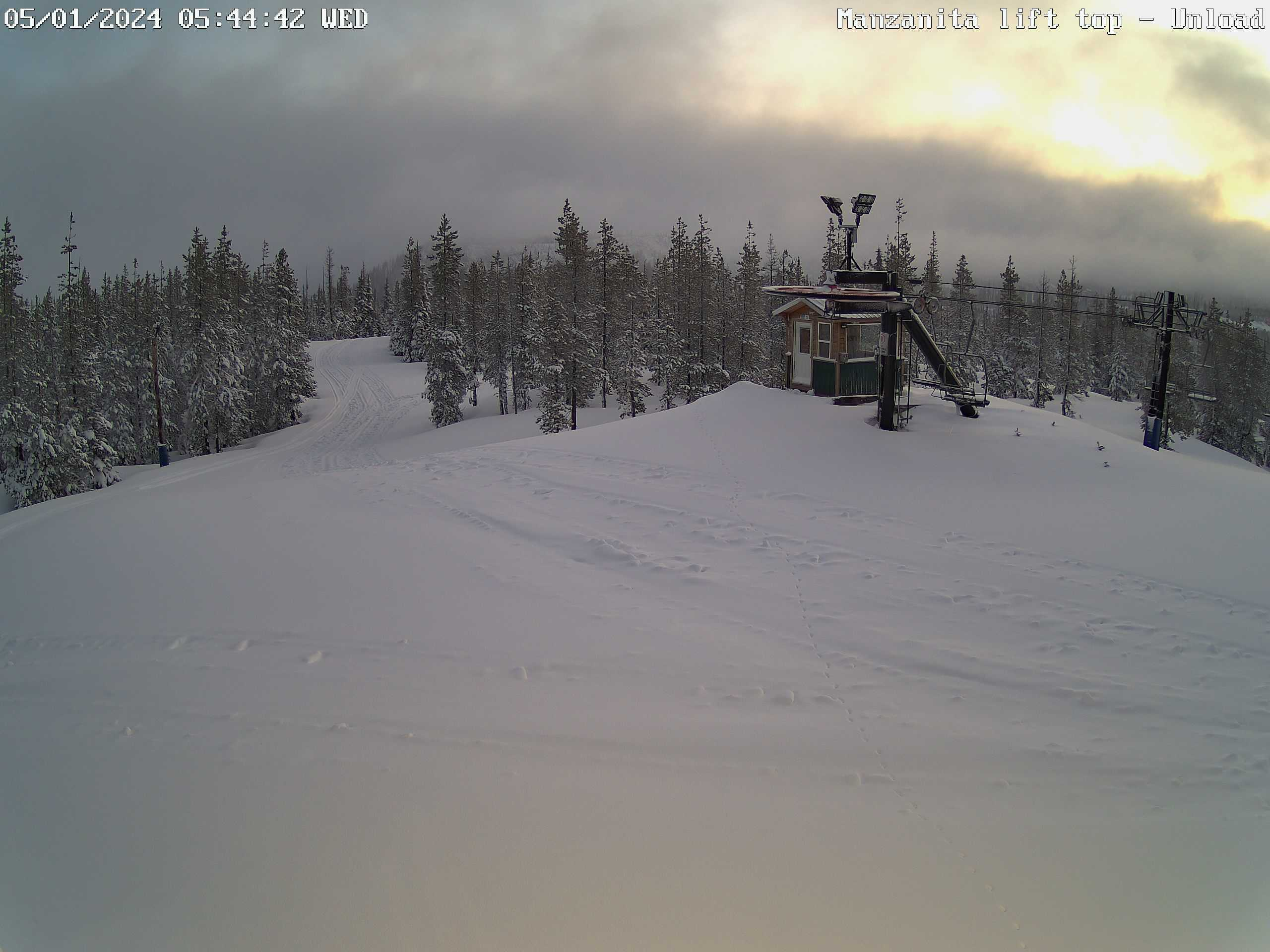
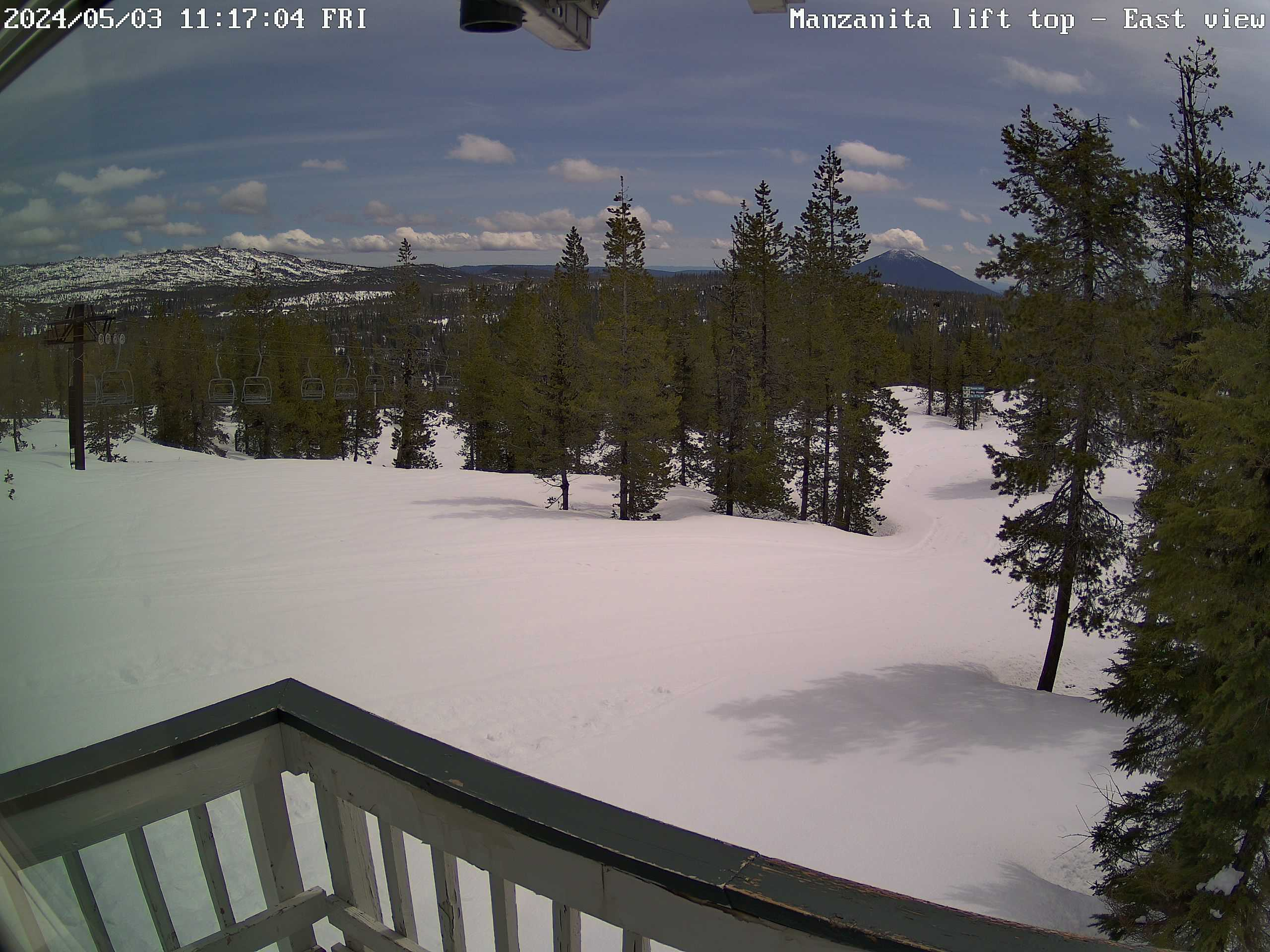
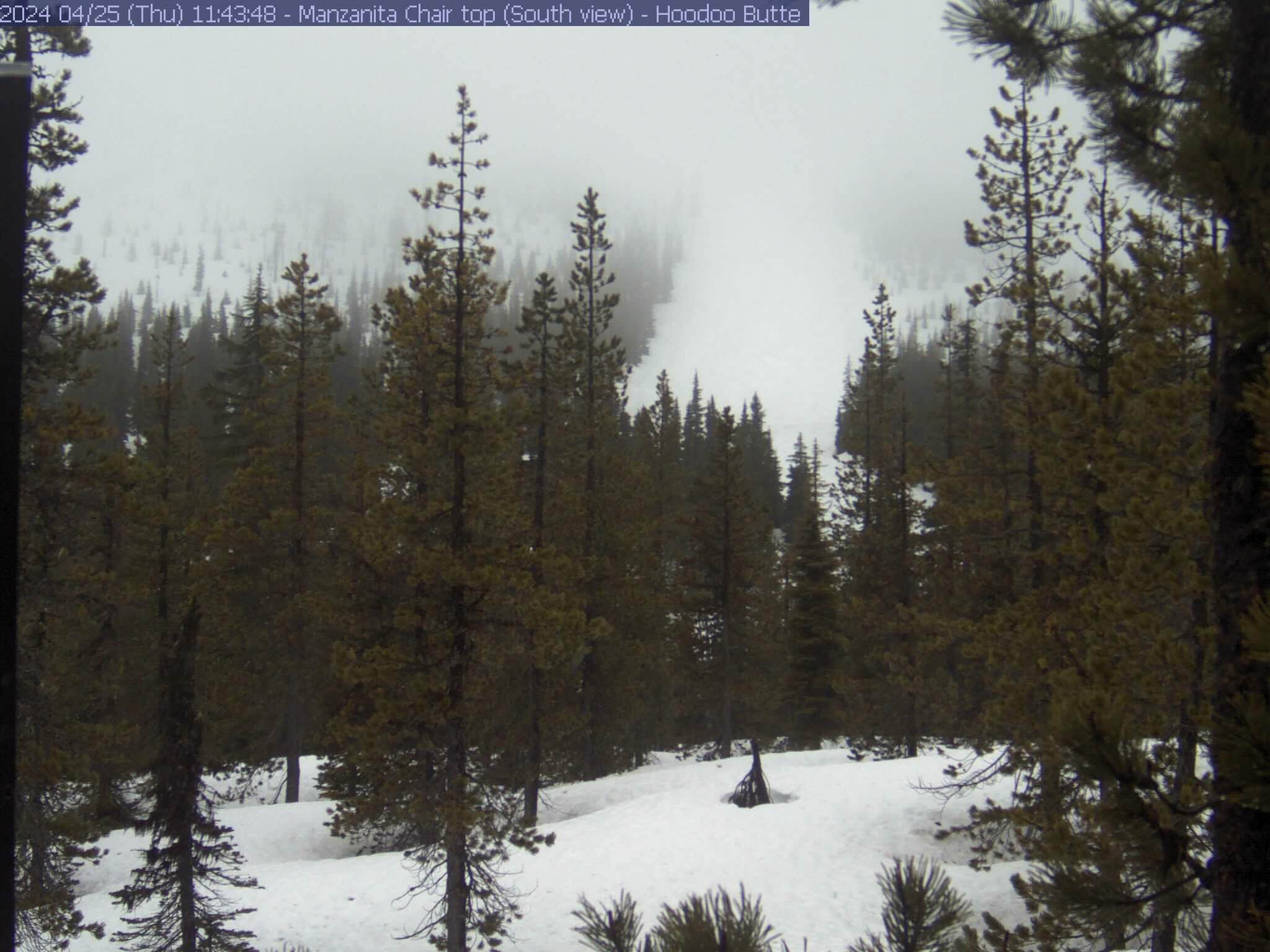
Manzanita chairlift (top)
|
"Top of the 'Wall" run
|
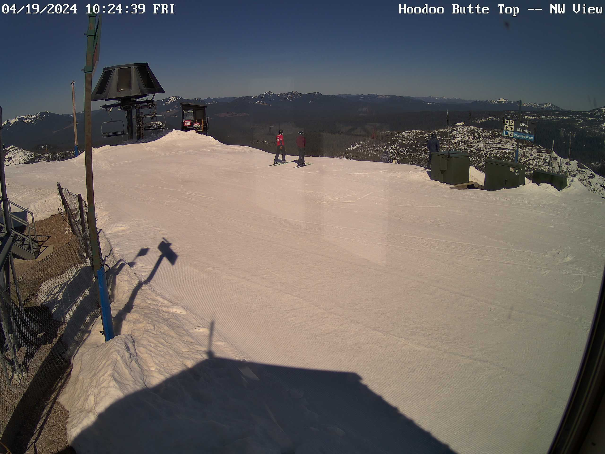
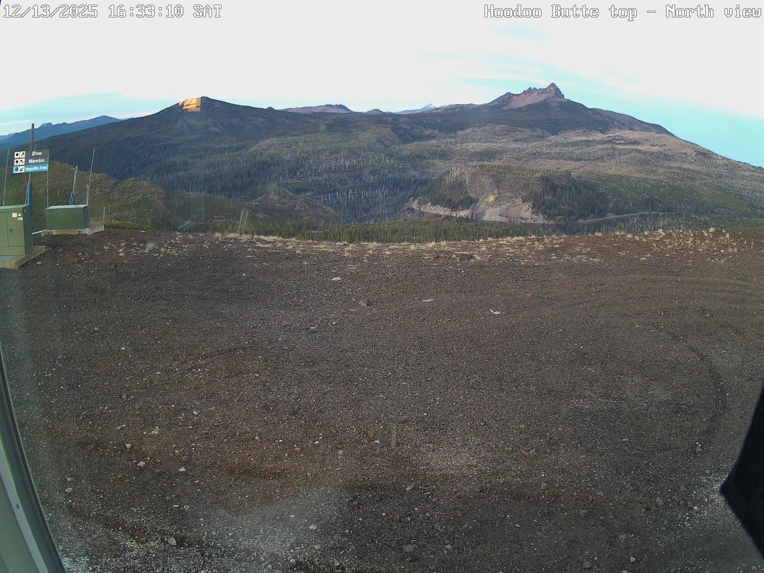
North side of Hoodoo Butte, "Dive" run
|
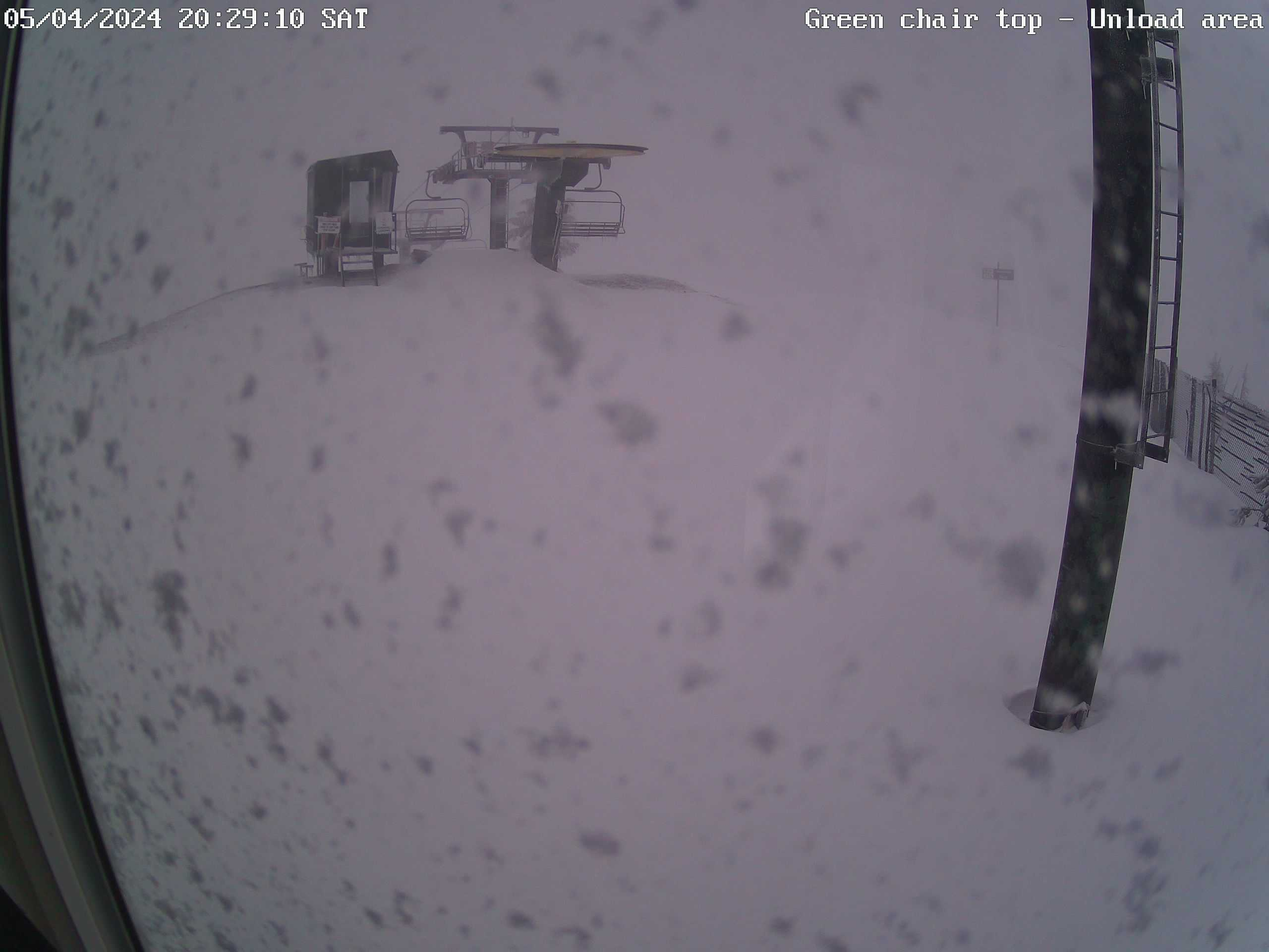
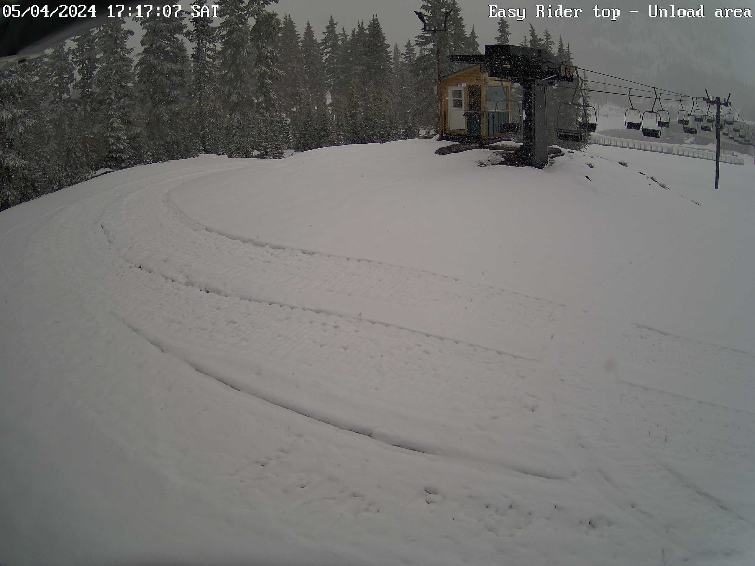
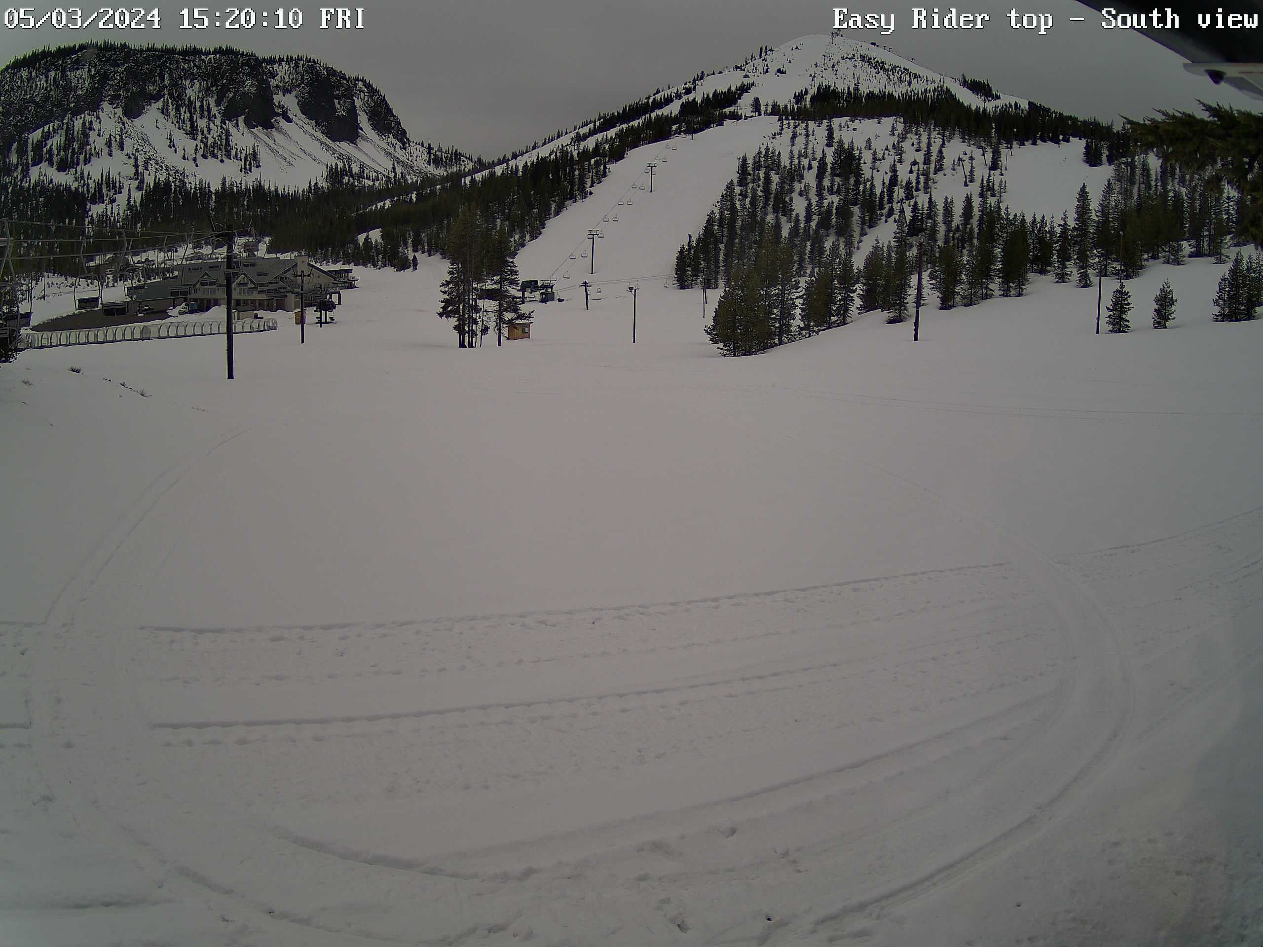
Easy Rider chairlift (top) - offload area
|
Hayrick Butte, Hoodoo Bowl, Hoodoo Butte
|
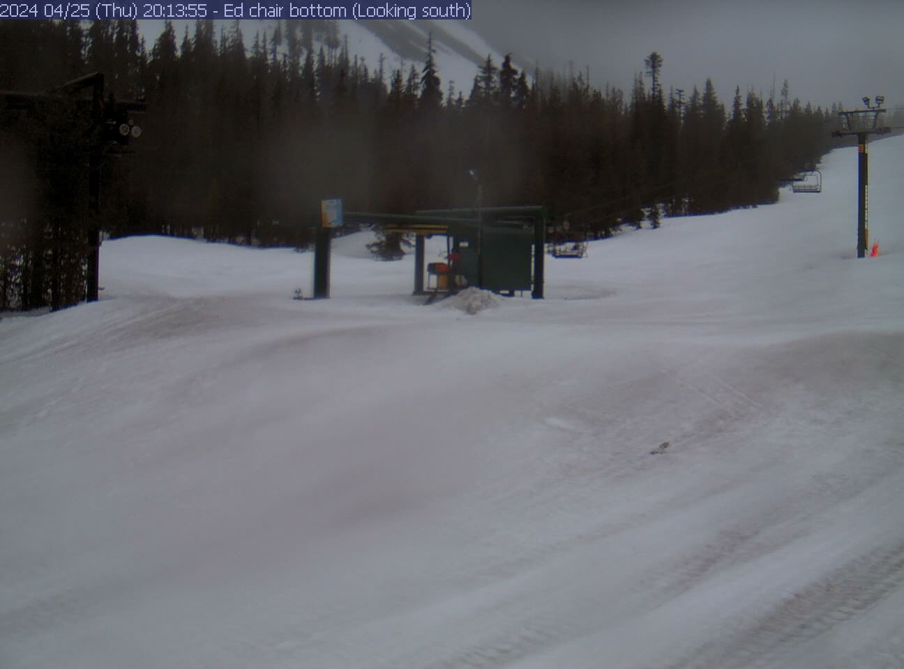
Ed Thurston chairlift (bottom)
|
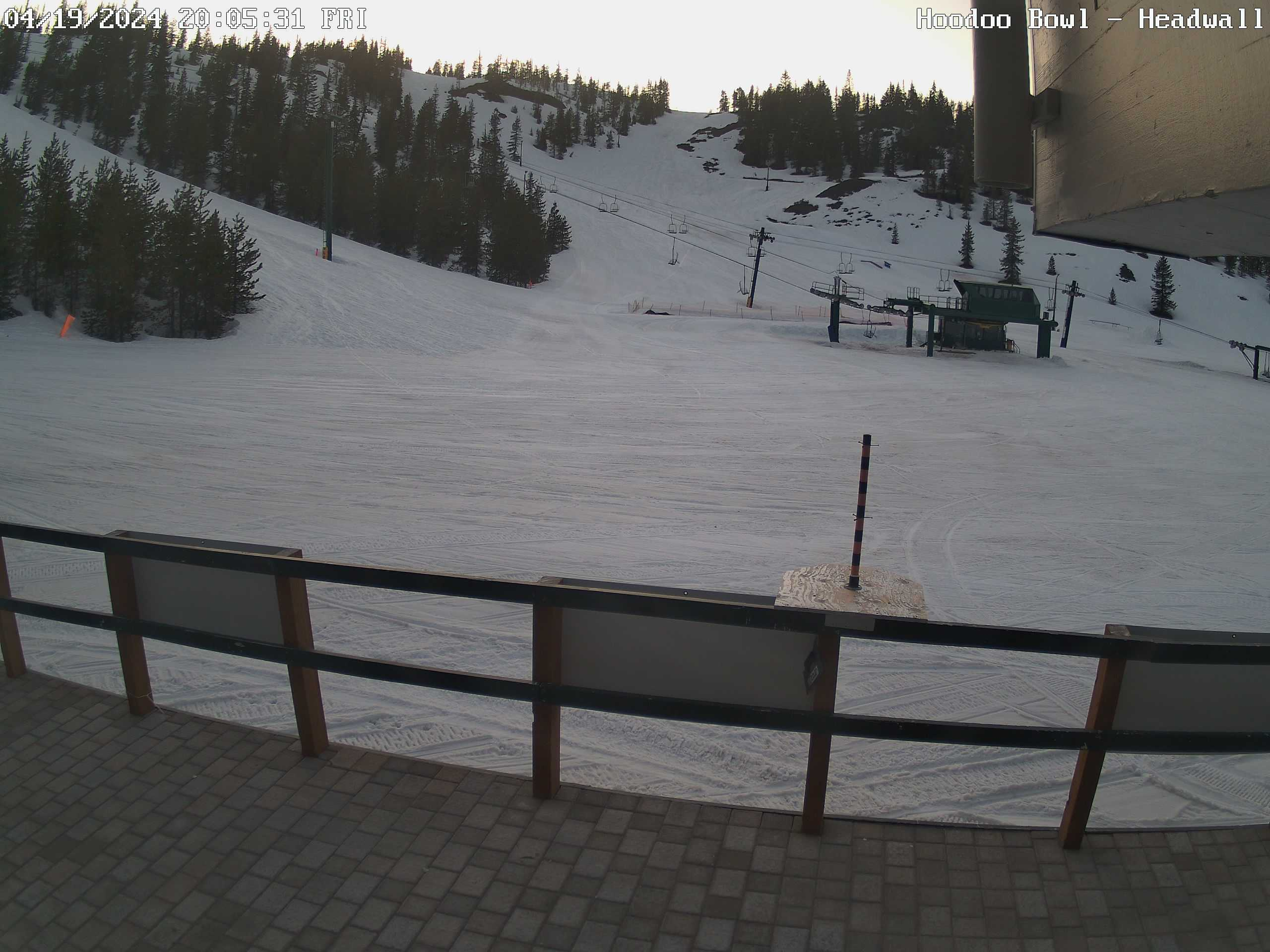
Headwall, Blue Valley
|
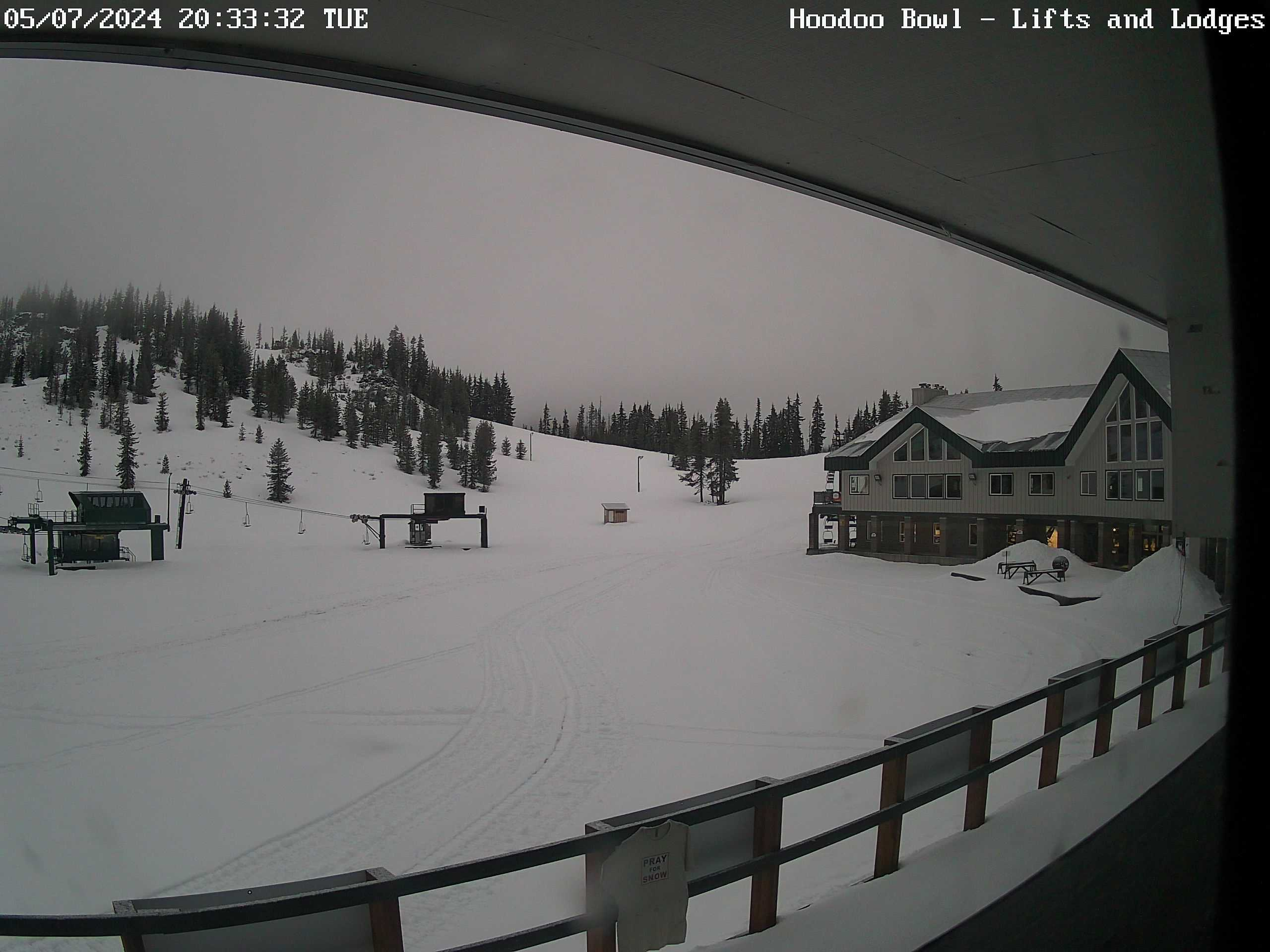
Hoodoo Bowl, North lodge
|
Autobahn - Tubing area
|
Parking Lot - center
|
Parking Lot - south side
|
Parking Lot - South end
|
Links to random shots #1 & 2
|
Links to random shots #3 & 4
|
Links to random shots #5 & 6
|
Santiam Junction (ODOT cameras)
|
Santiam Pass (ODOT cameras)
|
Sisters, OR area (ODOT cameras)
|
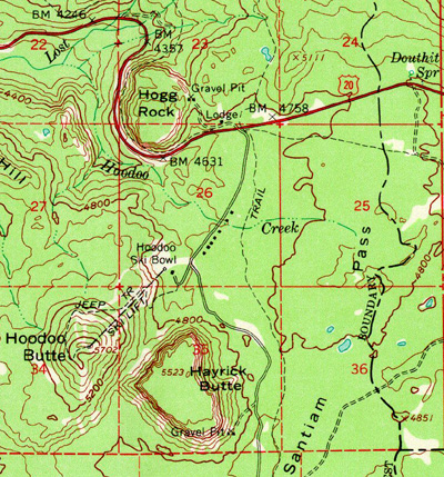
| Looking to the North & West | Elevation (feet) |
Azimuth (degrees) |
Distance (miles) |
| Mt Jefferson | 10497 | 012 | 19.4 |
| Three-Fingered Jack
(Treeline on south ridge) |
7841
(6800) |
020 | 5.7 |
| Maxwell Butte | 6229 | 347 | 4.4 |
| Crescent Mtn (over the Hodag lift's operator shack) |
5750 | 287 | 10.9 |
| Hogg Rock (US20 milepost 79.5) |
5040 (4650) |
015 | 1.3 |
| In the area | Elevation (feet) |
Azimuth (degrees) |
Distance (miles) |
| Hoodoo Butte (top) | 5700 | - | - |
| Hayrick Butte | 5520 | South | 0.8 |
| 'Ed Chairlift top - Trees in south view | 5400 | South | 0.02 |
| Manzanita Chairlift top | 5000 | North | 0.05 |
| Hogg Rock - US 20 @ milepost 79 | 4400 | North | 1.6 |
| Santiam Pass - US 20 @ milepost 81 | 4817 | East | 0.5 |
| Parking lot & "Camper Row" | 4700 | South | 0.01 - 0.2 |
| Looking to the South & East | Elevation (feet) |
Azimuth (degrees) |
Distance (miles) |
| North Sister | 10085 | 162 | 17.1 |
| Middle Sister | 10047 | 165 | 18.2 |
| Mt Washington (North ridge tree line) |
7794 (6400) |
156 | 5.3 |
| Black Butte | 6436 | 091 | 12.3 |
| Big Lake | 4644 | 164 | 2.1 |
 ".
".


